Journal · Explainer
Reading Weather in the Mountains
The forecast you checked at the trailhead describes the valley. The mountain writes its own weather, hours ahead of when it arrives, if you know what to look for.
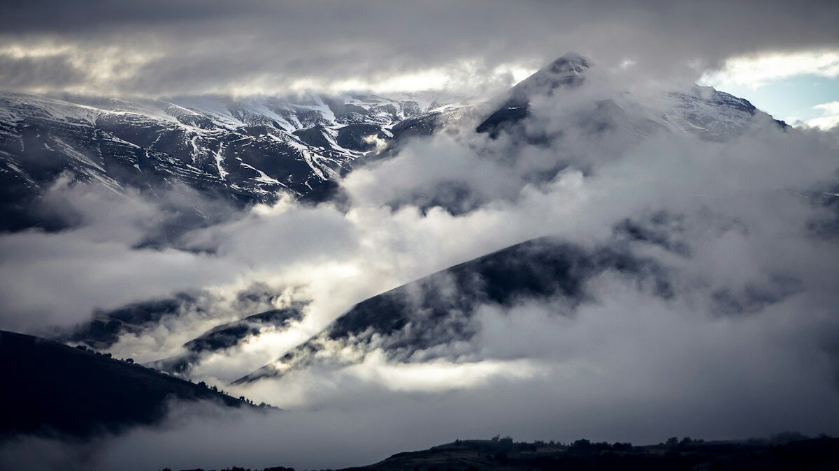
I spent six seasons as a backcountry ranger before I started writing about trails for a living, and the single most useful thing I learned on the job had nothing to do with knots or radios. It was this: by the time you can see or feel bad weather at your exact location, the mountain has usually been telling you about it for an hour or more. Reading those signs isn't a mystical skill. It's pattern recognition, and like any pattern recognition, it gets better with deliberate attention.
None of this replaces a forecast. Check one before you go, every time. But a trailhead forecast describes conditions at elevations and locations that may be miles and thousands of feet from where you'll actually be standing at 2 p.m., and mountain weather systems move and build faster than most forecasts update. This is about the gap between the forecast and the moment.
Clouds Are the Mountain's Weather Report
Cumulus clouds building vertically through the morning — flat-bottomed, growing taller and more cauliflower-shaped by the hour — are the single most reliable warning sign in mountain weather. That pattern, especially common in summer, is instability building toward afternoon thunderstorms, and the growth rate tells you roughly how much time you have. Clouds that are visibly taller at 11 a.m. than they were at 9 a.m. are a clock running on your summit window, not a maybe.
Lenticular clouds — the smooth, lens- or saucer-shaped clouds that form over and downwind of peaks — mean strong wind aloft, even on an otherwise calm-looking day at your elevation. They're often mistaken for a curiosity worth photographing rather than the warning they usually are: high winds are likely at exposed ridges and summits even when the air feels still where you're standing.
The Afternoon Buildup Pattern
In mountain ranges with a monsoon or summer-convective pattern, the rhythm is numbingly consistent across a season: clear mornings, building cumulus by late morning, and a real chance of thunderstorms by early-to-mid afternoon. This is exactly why the standard backcountry advice is to summit early and be off exposed terrain by noon or 1 p.m. — not as a conservative suggestion, but because the pattern genuinely repeats often enough to plan a schedule around it.
- Clear skies at 6 a.m. tell you almost nothing about 2 p.m.
- Flat-bottomed cumulus building taller through the morning is the warning sign to watch
- A sudden drop in temperature or a shift to a cooler, gustier wind often precedes a storm's arrival by 15–30 minutes
- Distant thunder means the storm is close enough to matter — sound travels roughly one mile every five seconds
Wind Shifts Say More Than Wind Speed
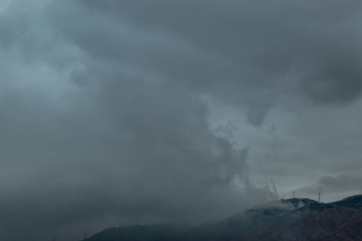
A steady wind that suddenly shifts direction, rather than just picking up speed, is one of the more reliable short-term signals that a frontal system or a thunderstorm's outflow boundary is approaching. The gust front ahead of a thunderstorm frequently arrives from a different direction than the prevailing wind that's been blowing all day, and it often arrives cold — a noticeable temperature drop riding in on that wind shift is worth taking seriously even if the sky directly overhead still looks fine.
On ridgelines, wind direction relative to the terrain also tells you where weather is coming from before you can see it: a ridge that's calm on the side facing yesterday's weather but gusty on the opposite side is often telling you a system has moved through or is approaching from a new direction.
Barometric Pressure, Felt Without a Barometer
You don't need an altimeter watch with a barometric function to notice pressure changes, though it helps if you have one and know how to read the trend rather than the single number. A rapid pressure drop — the kind that shows up as a sudden, unexplained headache in people sensitive to it, or as your ears popping on flat ground — often precedes a storm system by several hours. If you do carry an altimeter watch, a drop in indicated elevation of 100+ feet over an hour while you haven't actually changed elevation is the pressure falling, not a GPS error, and it's worth treating as an early warning.
Signs That Are Often Misread
A clearing sky after a storm doesn't necessarily mean conditions are improving for good — in unstable summer patterns, a brief clearing between storm cells is common, and a second cell can build within an hour of the first one passing. Similarly, calm wind at a sheltered camp or basin tells you nothing reliable about wind on an exposed ridge or summit a thousand feet above; terrain shelters and funnels wind unevenly, which is exactly why lenticular clouds over a calm-feeling valley are such an important signal to catch.
Animals going quiet is a real and old piece of folk weather wisdom, and it's not nothing — birds and insects do respond to pressure changes — but it's a weak, late signal compared to watching the clouds build, and by the time it's obvious enough to notice, the clouds have usually already told you the same thing with more lead time.
What to Actually Do With This
Build a habit of checking the sky every 30 to 60 minutes on a mountain day, not just when something already looks wrong. Note cloud type and growth rate, wind direction, and temperature at each check, even informally. On a long summit day, that habit is what turns "the weather changed fast" into "the weather did exactly what the 10 a.m. clouds said it would," which is a much better position to plan a retreat from.